


“The government has so many educated engineers and scientists, yet they cannot even draw a line properly?” asked Sathish Kumar, a fisherman of Alamparai village, a little over 100 km south of Chennai.
The fisherfolk of Alamparai were baffled that the new maps showing the High Tide Line along their coast had missed out salt farms and tidal mudflats frequently submerged by the rising tide.
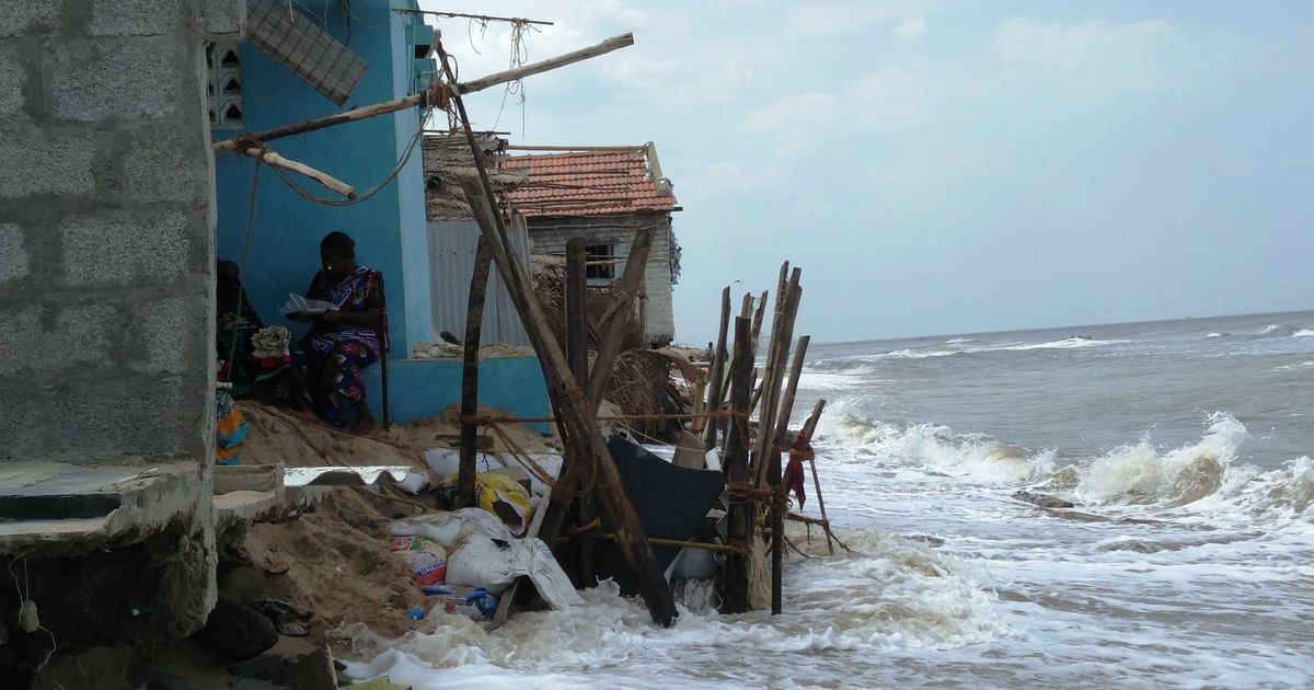
The High Tide Line represents the highest point of tidal influence along a coast.
Last year, the National Centre for Sustainable Coastal Management, an autonomous centre under India’s environment ministry, completed an exercise to freshly map the High Tide Line along India’s 7,500-km coastline.
The accurate mapping of the High Tide Line is important: it forms the baseline for coastal management plans. Construction within 500 metres of the High Tide Line and 100 metres of riverbanks is subject to strict building regulations, and in certain ecologically-sensitive zones, it is not permitted at all.
In August 2016, the Coastal Resource Centre, a non-governmental organisation in Chennai that works with coastal communities, sought information on the new High Tide Line under the Right to Information Act. But the National Centre for Sustainable Coastal Management refused to share the information, citing its scientific and economic interests.
This year, in April, the NGO finally obtained the data for Tamil Nadu from the state coastal authority. It compared the data with maps prepared by the Institute of Remote Sensing of Anna University, Chennai, in 2013. The activists found several discrepancies. In just two districts of Tamil Nadu, they found that 888 acres of tidal mudflats and salt marshes had not been covered by the High Tide Line.
Salt marshes and tidal mudflats act as natural coastal defences, reducing erosion and nurturing many species of marine animals.
Near Alamparai, along the backwater channel Yedainthittu Kazhiveli, Sathish Kumar, a fisherman, pointed out that the High Tide Line had been drawn “right in the middle of the water”.
A High Tide Line closer to water leaves more areas open for real estate development. “What if they are sold to private parties that construct buildings along our backwater?” Kumar asked.
In the map of the backwaters below, the red line is the High Tide Line marked by Institute of Remote Sensing in 2013. The yellow line is the High Tide Line of the National Centre for Sustainable Coastal Management, marked in 2016, which leaves out several acres of salt pans and is marked further into the water.

The activists point out that the new maps legitimise existing violations by not bringing them inside the High Tide Line. This includes violations in polluted areas such as the Ennore Creek and encroachments by polluting industries on the arms and creeks of the backwater.
“The current demarcation effectively obliterates past violations, robbing citizens of the benefit of corrective regulatory action on the offence and the offenders,” said the report prepared by the Coastal Resource Centre.

Mapping discrepancies
In 2013, after two years of surveying the Tamil Nadu coast, the Institute of Remote Sensing came out with a High Tide Line for a draft coastal management plan. But on the recommendation of two committees formed in subsequent years to review the Coastal Regulation Zone rules, the central government decided to get the National Centre for Sustainable Coastal Management to demarcate a uniform High Tide Line for all coastal states. The exercise was declared complete in June 2016.
“We were of the impression that the IRS maps would be considered while finalising the uniform HTL,” SS Ramakrishnan, director of the Institute of Remote Sensing, told The New Indian Express, referring to his institute’s work. “But looking at some of the maps, it looks like IRS data sets were not taken into account. We stand by the HTL prepared by us which was based on the collection of ground-truth data.”
Ramakrishnan also said that in March 2016, the central agency had used his institute’s data to correct deviations from the High Tide Line at 255 locations. But the final map still carried discrepancies.
The Coastal Resource Centre said the Institute of Remote Sensing’s demarcation was more accurate, and physical markers placed by them in 2013 could be found on the ground even today. On the other hand, no evidence of ground visits by the National Centre for Sustainable Coastal Management was found.
“Both the IRS and NCSCM operate out of the Anna University and to the best of my knowledge, there is a fair amount of information sharing between them,” said Ravinder Singh Bhalla, ecologist at the Foundation for Ecological Research, Advocacy and Learning in Puducherry. “How then are maps produced by them different?”
Scroll.in sent an email to the National Coastal Zone Management Authority asking if there was a formal mechanism for transparently addressing the questions raised over the new High Tide Line. There was no response.

Bhalla said the key question was about the methodology followed for the demarcation of the High Tide Line.
For one, Bhalla explained, very high resolution satellite maps are needed for accurate demarcation of the High Tide Line. This is because waves seasonally move material along the shore. This movement greatly impacts the shoreline, thereby influencing the demarcation of the High Tide Line.
Further, ground-truthing is essential to validate the High Tide Line map. “You need to remember the HTL map is an estimate or a model, it has errors associated with it,” Bhalla said. “Are these errors within acceptable limits? What are these acceptable limits? Were local communities involved in this ground validation?”
He added, “Not enough has been done by the NCSCM to convince even the scientific community about the validity of their approach, let alone coastal dwellers.”

Left unprotected
Alamparai’s fishermen have already seen coastal land taken over by private individuals and companies that would invariably build a compound wall around their plot, blocking easy access to the shore. Now the fisherfolk are wary of losing more land.
“They need to know that we also have educated people among us,” said Sathish Kumar. “We are well aware of all the rules along the coast.”
During monsoon, the salt marshes near Alamparai are entirely submerged. “We stock up our salt and shut down the plant during those months,” said a worker at the village’s salt plant.
This is one of the best seasons for inland fishermen. Crabs, shrimp and other crustaceans are found in abundance near salt marshes. During fishing trips, the fishermen often dock their boats against the banks of the salt plants and lay out their nets.
Now that the new demarcation has left this region out of the High Tide Line, the villagers are worried it might be fenced off for “development purposes”, rendering it inaccessible to fishermen. They wonder if the errors in the coastal agency’s maps was really just an oversight, or a deliberate ploy.
“Some 5,000 people are dependent on this stream,” said MR Kumar, an elderly fisherman from Alamparai. “The government should not take any step that would harm us.”
This is the second part of a series on the High Tide Line for India’s 7,500-km long coastline. The first part can be read here.
[“Source-ndtv”]